
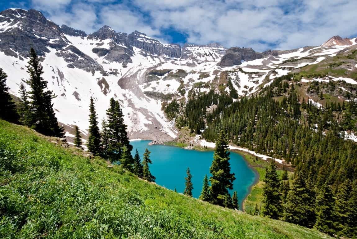
Telluride offers waterfall walks, steep forest loops and demanding alpine routes. These five hikes are useful starting points for exploring the area, but they differ substantially in exposure, distance and preparation. This guide corrects the original Lewis Mine directions and separates that route from Ajax Peak. Check current trail conditions, weather and access before setting out.
Start at the end of South Pine Street in downtown Telluride. The Telluride Tourism Board describes a two-mile climb through the 325-acre Bear Creek Preserve to upper Bear Creek Falls, or roughly four miles out and back. The original five-mile figure should not be treated as the distance for that standard route; extensions change the total. The wide trail climbs steadily through forest toward waterfall views, with seasonal wildflowers along the way.
It is a more approachable choice than the high alpine routes below, but altitude, snow, ice and individual fitness still affect difficulty. Stay back from slippery waterfall edges. The original precise elevation-gain and waterfall-height figures were not confirmed by the linked route description.

Photo: Greg Meland, Getty Images.
The correct spelling is Jud Wiebe. This steep local loop passes through aspen stands and meadows with views across town and the surrounding peaks. The tourism board describes it as approximately three miles with about 1,300 feet of gain in its local hiking overview. Confirm the route and starting point when comparing distances in different trip descriptions.
Use the official Jud Wiebe route description for the Aspen Street and Tomboy Road/Oak Street access points. A short mileage does not make the climb effortless. The Ajax Peak paragraph that previously appeared in this section described a different hike.
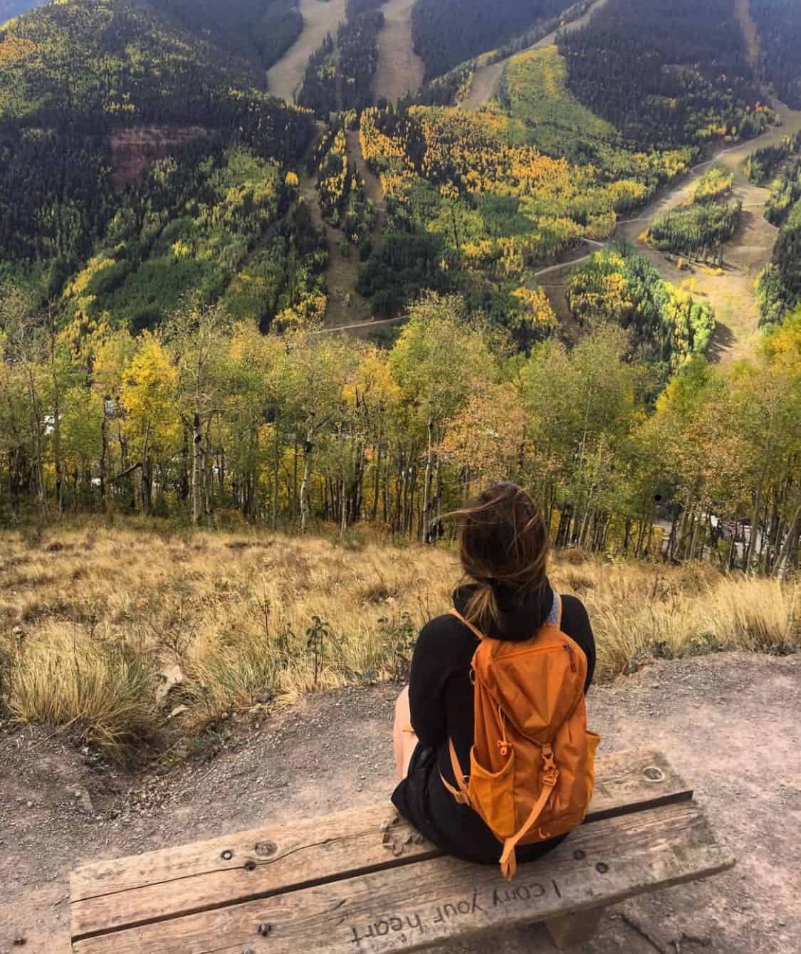
Photo: Rachel Allen.
Lewis Mine is reached through Bridal Veil Basin east of town, not from Telluride Airport Road and not by climbing Ajax Peak. The tourism board's Lewis Mine directions begin with access to Bridal Veil Falls beyond the Pandora Mill site. Beyond the falls, the route continues into the basin toward the preserved five-story mill.
The mill, mining remnants, waterfalls and alpine scenery are the attraction. Lewis Lake lies beyond the mill at about 12,700 feet; the source describes roughly another mile and a few hundred feet of climbing to reach it. Choose a turnaround and confirm where vehicle access ends before estimating the day's distance. The old 8.8-mile/2,300-foot figures were attached to incorrect directions and are not a reliable planning specification.
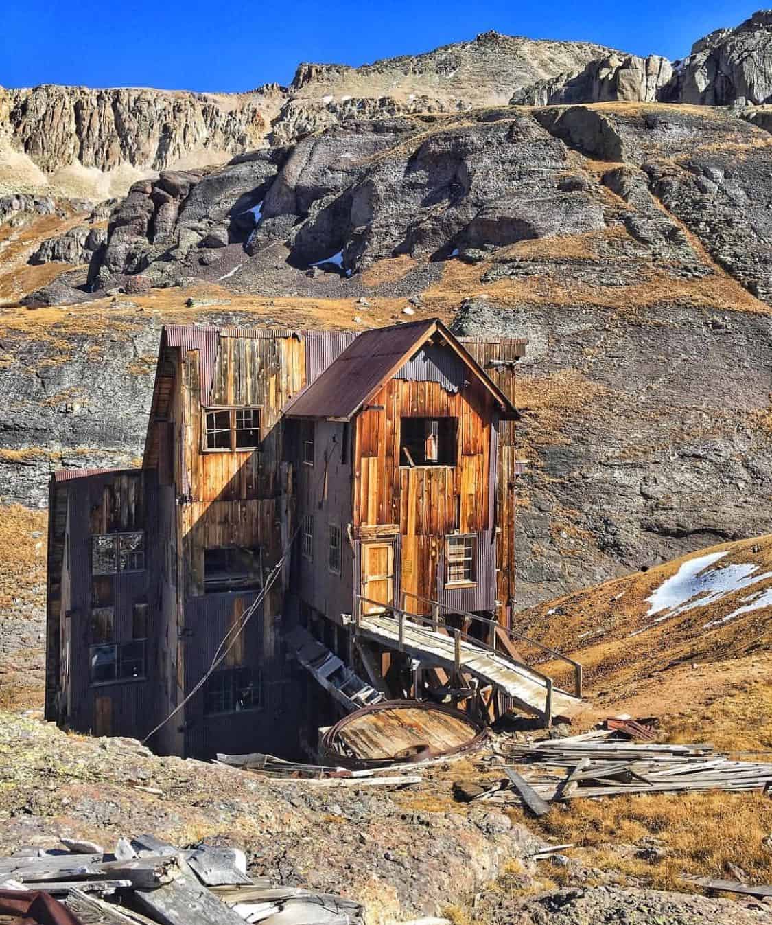
Photo: Beatrixx Kiddo.
Ajax Peak is a difficult hike above the east end of the valley. The official description starts below Bridal Veil Falls, continues toward Ingram Basin via the Black Bear Pass road, and then follows a separate trail toward the ridge between Ingram and Savage basins. Vehicles may share the road section.
The route reaches a false summit before a steeper continuation to the full summit. That distinction matters when choosing a turnaround. Panoramic valley views are the reward, but the exposure and climb require more preparation than a casual town walk. Confirm the route on a current map; the earlier eight-mile/nearly-4,000-foot claim did not identify a sufficiently clear starting point.
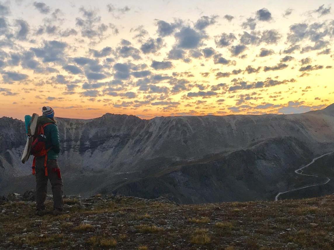
Photo: Mason Patterson.
This is a strenuous, exposed full-day outing for prepared hikers. The tourism board describes a 14.3-mile loop with 3,986 feet of gain when combined with Deep Creek. That figure is for the described loop, including its connecting route. A distance listed only for the named trail segment would not be an interchangeable trip total.
A town-based loop can begin on Jud Wiebe from Aspen Street. The original counterclockwise recommendation was one route choice, not a requirement or assurance of safety. Plan the complete loop, daylight, food, water, navigation and a turnaround before leaving. An early start may reduce time exposed during afternoon storms; it cannot prevent lightning or guarantee suitable weather. Snow and altitude can materially change the demands of the trip.
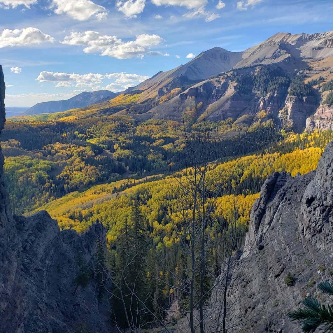
Photo: Ryan Watkins.
Match the route to the least experienced person in your group and to current conditions. Do not assume a few days in town eliminates altitude risk, or that a summer description applies in winter. Carry a current map, respect closures and private property, and be willing to turn back. When comparing homes, consider everyday trail access separately from a property's value or investment potential.
Contact Anne-Britt Ostlund at Mountain Rose Realty to discuss Telluride neighborhoods, property access and the local details that matter to your plans.