
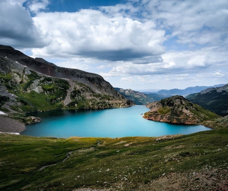
Story and photo credit: The first-person scenic narrative and photographs below are credited to LivingTinyWithAWolf. They describe that contributor’s experience and are preserved as a dated trail story, not as current conditions or personal experience of Anne-Britt Ostlund.
The credited story describes the scenery and high-alpine setting. Water conditions and recreation suitability can change, so it should not be read as an invitation to enter the lake.
This dated story preserves scenic context and photographs. Before a hike, verify current road, trail, weather, and safety conditions through the official land manager.
The original story described a six-mile round trip and 1,515 feet of gain, but this archive does not retain a primary source for those measurements. The Forest Service trail guide identifies 2.5 miles to Hope Lake and a longer 3-mile continuation; plan from current official information rather than this historic estimate.
Hope Lake, Colorado, a breathtaking paradise that rivals our wildest imaginings - is an actual place! Around you, towering 13 and 14ers reach to the heavens while vivid green meadows paint a vibrant landscape. Copper-tinted mountains dance alongside captivating wildflowers in the sunshine and shimmering glacier lake views fill your vision with wonder as far as the eye can see. For travelers visiting Telluride during summer months, this trail promises all who come its way memories that will last for years to come—it's one bucket list experience not be missed!
For current access, the USDA Forest Service directs travelers from Telluride toward County Road 63A and then Forest Service Road 627, staying left on FSR 627 for about 2.5 miles to the trailhead. The Forest Service notes that the final two miles can be rough and recommends high clearance. Road conditions, parking, and closures require a current check.
The Forest Service trail guide identifies 2.5 miles to Hope Lake and a longer continuation of 3 miles. This page does not verify a six-mile round trip, 1,515-foot gain, or a fixed difficulty rating, so use current official guidance, weather, and your own experience to plan equipment and turnaround time.
The credited narrative describes trees, meadows, wildflowers, and switchbacks. The Forest Service lists no potable water at the site, so carry the water you need and confirm current conditions before departure.
As you exit the forest, a majestic range of mountains appears on the horizon. Glimpses of Trout Lake provide incredible vistas and offer up spectacular views featuring three 14ers! We paused our journey to take in this surreal sight as we breathed in the fresh mountain air. To me, however, nothing compared to my favorite view—the sun bathed valley beneath us with lush greens that left me speechless.
Embark on a breathtaking journey and witness the majestic heights of these incredible mountain peaks: Vermilion Peak (13,894 ft - pictured below), El Diente (14,160 ft), Mt. Wilson (14,242 ft) and Wilson Peak (14,023ft).
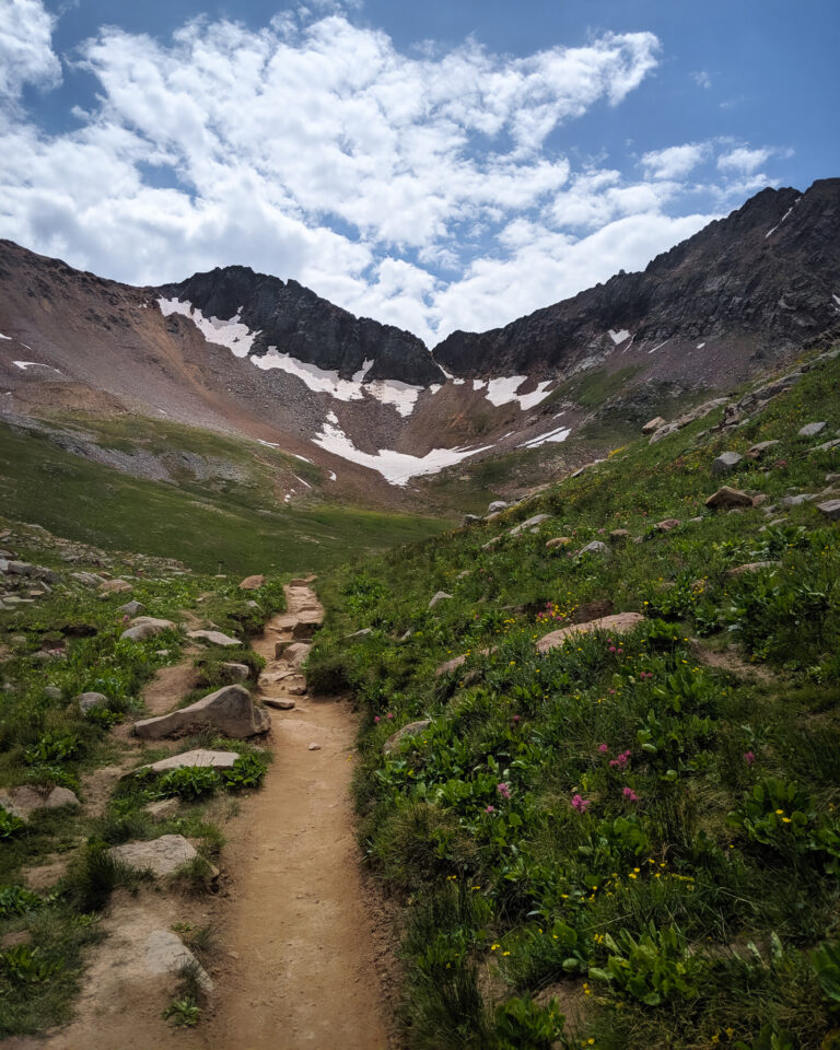
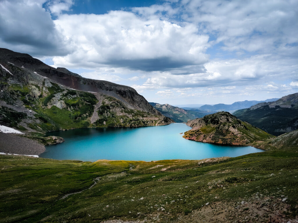
The final steps to the lake comes as a surprise! The trail looks like it descends right into the lake. The wildflowers are in full bloom and you can see some snow left behind on the mountains in the background.
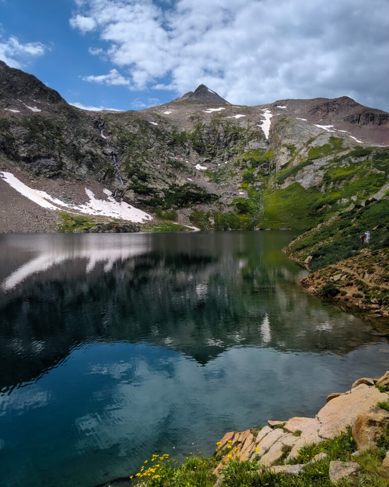
Witnessing the glistening Lake for the first time was truly spectacular. Its mountainous backdrop caused a reflection of its peaks in its crystal-clear, glassy waters of turquoise that could be admired from far away. As I stepped closer to its edge, my awe only deepened as I took in this remarkable beauty with my own eyes!
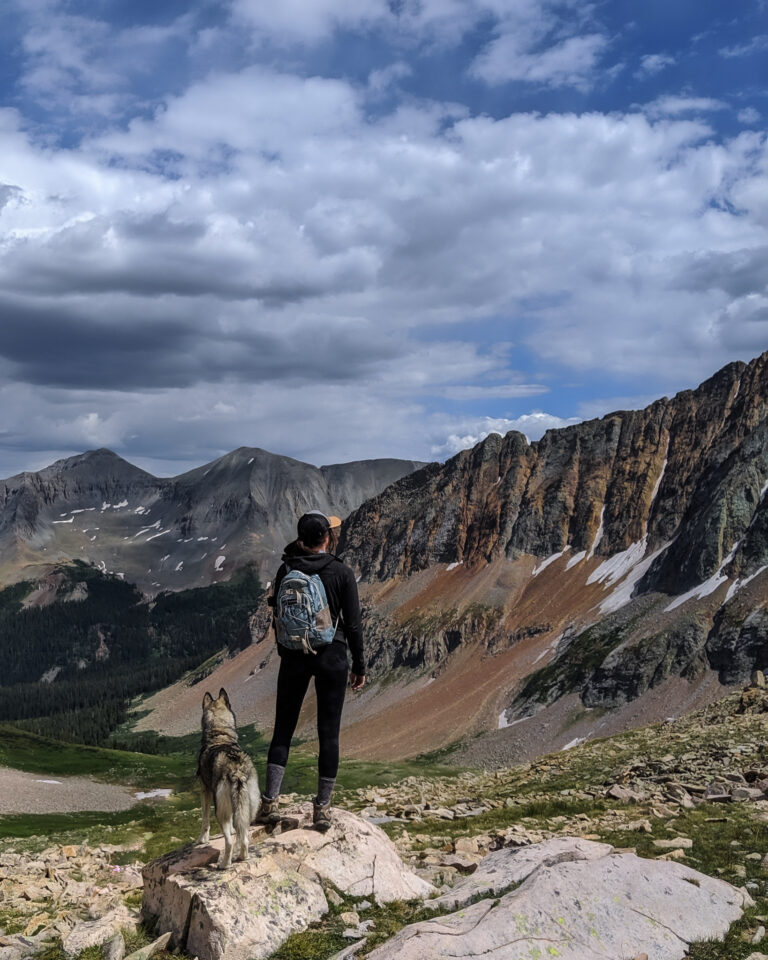
The credited account describes continuing beyond the lake for a higher viewpoint. It should not be read as advice to refill from untreated water or as a mapped route recommendation; consult current official information before choosing any continuation.
This preserved story does not verify current swimming safety, water quality, access, or weather conditions. Do not rely on it for water-recreation decisions; check current official guidance and make safety choices appropriate to conditions.
The Forest Service guide identifies 2.5 miles to Hope Lake and a longer continuation at 3 miles. It does not provide a fixed duration. Allow time based on current conditions, route choice, weather, altitude, and your party’s experience.
The Forest Service lists June as a season of use. Seasonal access, snow, weather, road conditions, and closures can change, so check current GMUG Forest Service information before planning a visit.
Considering a home near outdoor recreation
When comparing homes near trail access, consider year-round road access, maintenance, distance to services and the property's permitted uses. For help comparing local properties and sale context, contact Anne-Britt Ostlund at Mountain Rose Realty.
Her extensive knowledge of the surrounding area and her passion for all things outdoors ensures that your real estate adventure will be nothing short of spectacular. Reach out to her today at Mountain Rose Realty and explore the breathtaking beauty that Telluride, Colorado has to offer! You won't regret it.
Credits: livingtinywithawolf.com