
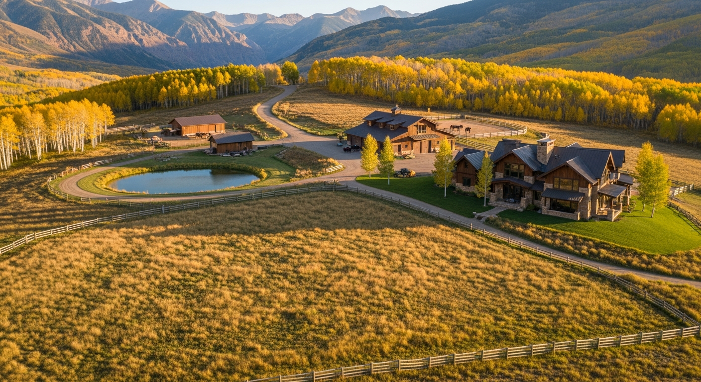
A Telluride-area ranch search can include mesa acreage, river-valley parcels, equestrian properties and working land across more than one county. These properties differ in access, improvements, water supply, permitted uses and operating responsibilities. Acreage and a mountain view do not answer those questions.
This guide helps organize a buyer’s document review and property visits. It does not establish rights or approvals for a particular parcel. Start with the intended use, then ask which documents and professional assessments demonstrate that the property can support it.
Wilson Mesa, Hastings Mesa, Specie Mesa, Iron Springs Mesa, the Down Valley and Placerville area, and the Norwood area are distinct search locations. A wider search may also include Ridgway and Pleasant Valley in Ouray County or acreage toward Lone Cone. A listing described as “near Telluride” should be mapped to its actual county, boundaries, legal description and access route.
San Miguel County provides official maps and links to its interactive zoning tools. Use these to orient the search, then reconcile parcel boundaries with the relevant survey and title documents. A mapping layer is not a substitute for a boundary survey or a written land-use determination.
Drive the actual route and ask about seasonal restrictions, steep sections, maintenance and travel during winter. There is no single travel-time range that fits every property marketed to a Telluride buyer. A summer drive also cannot demonstrate dependable year-round access.
Colorado’s Division of Water Resources explains that the state administers water under prior appropriation. Priority is part of that system, but a short description of “senior rights” is not sufficient due diligence for a ranch. Use the DWR water-rights resources and obtain the actual records relevant to the property.
Ask which water interests are included in the proposed conveyance, which are excluded, and how the purchase documents identify them. Assemble deeds, applicable decrees, well permits, ditch or company documents, historical-use records and information about the physical delivery system. A Colorado water attorney and the appropriate technical professionals can evaluate those materials against the intended use.
For an existing well, review the applicable well-permit record, allowed uses, construction information and available testing. Ask separately about water quality, yield, equipment condition, storage and maintenance. A permit or historic use does not promise unlimited future supply.
For irrigation, discuss the delivery arrangement, timing, facilities, maintenance obligations and any interruption history. Avoid inferring that all acreage can be irrigated or that a past hay operation can be expanded. Do not assign a financial premium to a stated water right without understanding what it actually allows and delivers.
Where a conservation easement affects a property, obtain the full recorded document, amendments, maps and relevant holder correspondence. Identify the holder and ask how compliance is monitored. The wording of the actual easement matters more than a general description that the property is “protected.”
Review any building envelope, subdivision restriction, agricultural or commercial-use provision, road or utility limitation, and procedure for approving improvements. A main residence, guest house, barn, manager’s accommodation or future expansion should be checked individually. County permission does not resolve a separate conservation restriction.
Ask a qualified attorney to reconcile the easement with the buyer’s intended plans and the title documents. Do not assume protection applies to the entire surrounding view or to neighboring parcels. Also distinguish land restrictions from tax treatment: Colorado’s Division of Conservation administers a program for qualifying donated easements. Buying an already encumbered ranch does not automatically give the purchaser a donation-related tax benefit. Review any proposed tax treatment with a qualified adviser.
Obtain the recorded access instruments and review the route, scope, beneficiaries and maintenance obligations with the title professional and attorney. Determine whether the right covers the intended residential, agricultural, commercial or construction use. An existing track is not by itself proof of a legal right to use it.
Then assess the road itself: grade, drainage, bridges or culverts, emergency access, snow removal, seasonal limitations and the ability to receive deliveries. Where a shared road is involved, review the agreement, budget, maintenance history and dispute process. Ask who pays for upgrades or repairs required by the buyer’s proposed use.
USFS or BLM adjacency can be relevant to a recreational search, but public land remains subject to its own access and use rules. It does not become part of the buyer’s ranch. BLM’s public-access explanation distinguishes legal access routes and easements from other uses of the land crossed.
Confirm the boundary, legal route and current rules with the responsible land manager. Hunting, fishing, vehicle use, grazing or development may involve separate permissions or restrictions. An appealing border on a listing map is not proof that a proposed activity is allowed.
Confirm jurisdiction, zone district, existing approvals and permit history for the parcel. San Miguel County Planning provides land-use and development information, while its Building Department handles building review. For property in another county, use that county’s authority. Do not assume an agricultural label permits a residence, guest house or additional structure.
Evaluate existing improvements with appropriate inspectors and specialists. Include septic, wells, electrical systems, heating, roofs, barns, fences and utilities in the review. Ask what records support permitted construction and whether the planned changes require further approvals.
Have the title documents and relevant mineral records reviewed for what interests convey and what may have been reserved or separated. Do not assume that the absence of visible activity means mineral development is impossible or that a general listing description resolves the issue.
Obtain insurance terms for the actual address and intended activities early enough to evaluate them under the contract. Discuss wildfire exposure, defensible space, access, rebuilding cost, outbuildings and any agricultural or rental use. A general statement about the regional insurance market cannot establish availability or price for this property.
Build a budget for taxes, insurance, roads, snow removal, utilities, staff or contractors, irrigation, fences, equipment and building maintenance. Ask which records support each estimate. A lower asking price per acre does not necessarily mean a lower total cost or better value than a different property type.
Public listings and private introductions both require current seller authorization and the same due diligence. Do not assume that a property is available because it is discussed privately, or that any brokerage has access to every unlisted ranch. Ask what is actually offered, what can be shared and how representation and compensation would work.
Anne-Britt Ostlund at Mountain Rose Realty can discuss the buyer’s preferred areas and help organize property comparisons and specialist questions. Call 970-759-4886 or use the contact page. A useful search begins with clear intended uses and the records needed to evaluate them, not a promise about appreciation or exclusive inventory.