
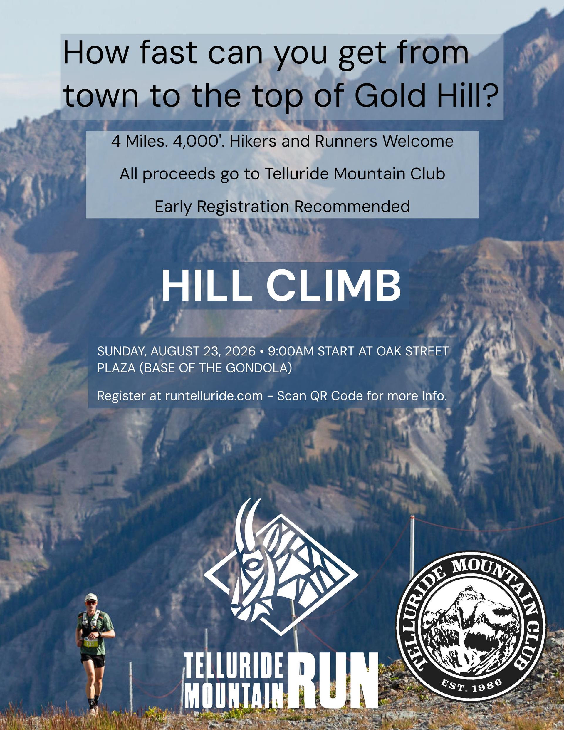
This is an archive of the inaugural Telluride Mountain Run Hill Climb announcement for Sunday, August 23, 2026. The course, registration, weather, aid, route marking, and descent procedures must be confirmed with Telluride Mountain Run for any event date.
The announcement placed the Hill Climb within the August 22–23, 2026 Mountain Run weekend. The organizer’s page now lists a later edition, so use its current maps, GPX files and instructions when planning another visit.
The article described a course through ski-area service roads and two-track terrain in the Lift 9 area, then See Forever Ridge, before an additional roughly 1,000 vertical feet to Gold Hill. It described a continuous ascent rather than rolling terrain, and welcomed strong hikers as well as runners. Participants need to evaluate fitness, acclimatization, pace, and descent capacity under current organizer rules.
The announcement described the Hill Climb as a fundraiser for the Telluride Mountain Club, founded in 1986, and referred to trail planning, access, education, and human-powered recreation including hiking, trail running, climbing, mountain biking, backcountry skiing, and the Via Ferrata. The club’s work provides the community context for the fundraiser.
The original plan described a summit aid station with water, electrolyte drinks, sweet and salty snacks, basic first-aid supplies, and volunteers. It said the event was cupless, so participants needed a reusable cup or hydration vessel. A single small drop bag, marked with name and bib number, was to be delivered at the start by 8:30 a.m.; suggested items included a warm jacket, dry layers, gloves, a hat, additional food, and personal items for the descent.
It described two planned ways down: approximately three miles on See Forever to San Sophia and the gondola, or approximately six miles through Bear Creek Basin to Telluride. There was no vehicle shuttle from the summit. The descent came after the climb, so participants needed to save energy and carry food, water and clothing for the return. Check current route conditions, land-manager restrictions and gondola operations before a future outing.
The announcement anticipated strong sun, cold temperatures, wind, rain, hail, rapidly developing thunderstorms, and reduced visibility above 12,000 feet. It described flagging, ground flags, and signs, but directed participants to download the final official GPX and map. The original instructions required staying on the marked route and avoiding shortcuts across switchbacks. Markers can disappear, making the official offline map useful. Allow time to acclimatize and follow the organizer’s weather and safety directions.
The Hill Climb announcement connects a mountain event with trail stewardship and local volunteering. A visit can help buyers explore how a location fits their interests in hiking, running, biking or community events. It does not measure a home’s value or rental performance; those questions need property-specific evidence.
For a property-specific conversation, contact Anne-Britt Ostlund at Mountain Rose Realty. Follow Facebook and Instagram for more local updates.